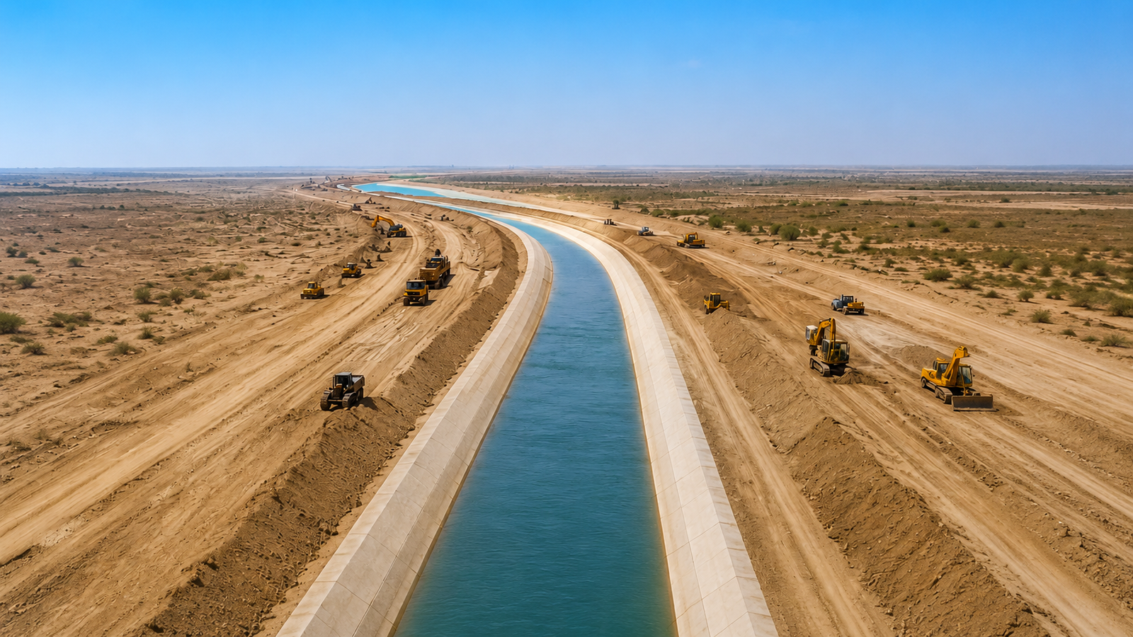
CHOLISTAN, PUNJAB | TOPOGRAPHIC SURVEY — 175 KM ALIGNMENT
Large-scale topographic survey of the Cholistan Canal corridor — approximately 175 km — supporting alignment design, earthwork computation and cross-structure sizing. Directly transferable to pipeline-route and oil & gas infrastructure survey.
Scope
Establishment of horizontal and vertical control, with permanent benchmarks along the alignment
Centre-line traverse and corridor detail survey
Longitudinal sections and cross-sections at specified intervals
Contour mapping and digital terrain model generation
Survey data issued in CAD format for design and earthwork computation